Introduction
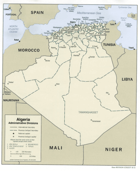
Algeria is a vast country made up of more than 2,381,741 square kilometres of land, of which 4/5 is desert. It is the largest country in Africa, the 10th largest in the world and takes up a significant part of the continent’s northern half between Morocco and Tunisia.
The country has a long stunning Mediterranean coastline, and the northern section is defined with spectacular mountains, deep valleys and vast plateaus between the Sahara Desert and the Mediterranean Sea.
Despite sharing borders with six other countries, all borders except Tunisia are closed or unsafe to travel overland.
With such vast geography, here are a few maps of Algeria to help you get acquainted with this country, its regions and major cities.
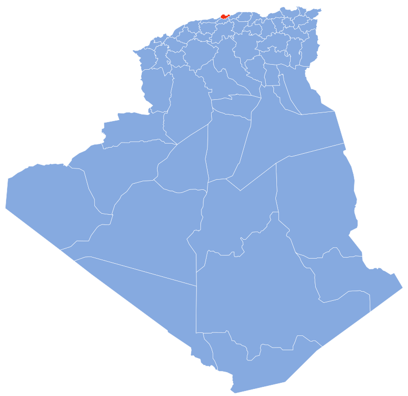
Map of the Provinces of Algeria
Algeria is currently divided into 58 wilayas (provinces).
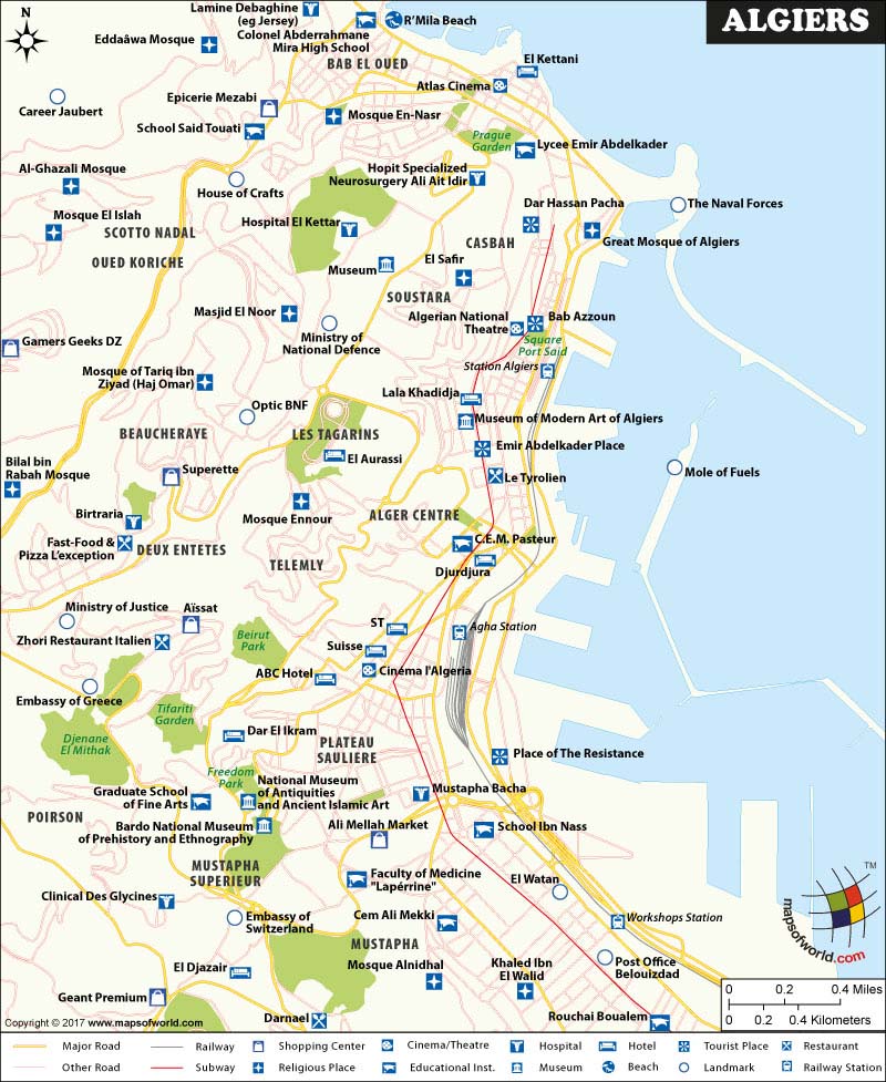
Map of Algiers
Algiers is the bustling capital of Algeria with a population of around 3.5 million people.
The city is situated on the west side of a bay that is part of the Mediterranean Sea. The city’s newest part is built on ground level close to the seashore, and the old part of the city climbs a steep hill behind the modern town.
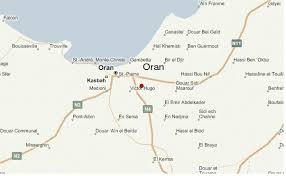
Map of Oran
Oran is a significant coastal city in the north-west of Algeria and the second largest in the country by population. Important culturally, commercially and industrially, this city has a great significance in Algeria.
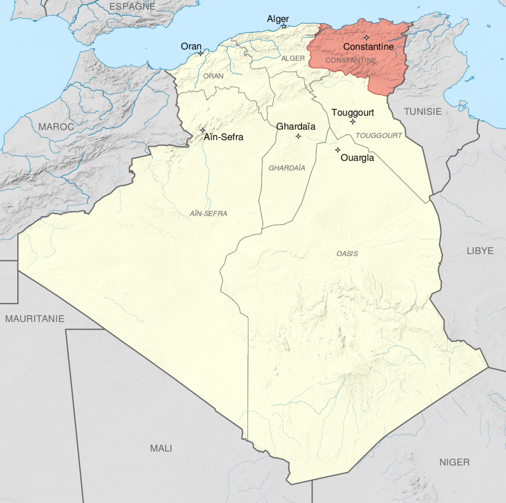
Map of Constantine
Constantine is located in northeastern Algeria and was an important city during the Roman Empire. Located inland Algeria, it is about 80 kilometres away from the Mediterranean coast on the banks of the Rhumel River.
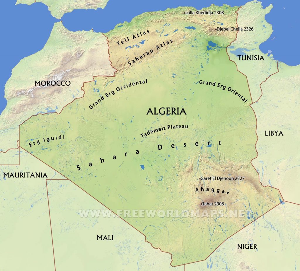
Map of the Sahara Desert in Algeria
Around 80 percent of southern Algeria is made up of the Sahara Desert and almost totally uninhabited.
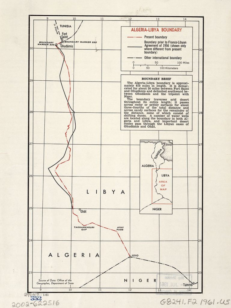
Algeria and Libya Border
The Algeria–Libya border is 989 km in length and runs from the tripoint with Tunisia in the north to the tripoint with Niger in the south. This border is totally closed, and it is unsafe to venture even a few hundred Kilometers within it.


